Data Entry
Indirect (or secondary) spatial data acquisition
Although spatial data can be acquired from third-party sources like government agencies or specialised companies, there will always be the need to acquire your own data. This usually means ‘digitising’ also known as ‘vectorisation’ – the process of capturing objects from a raster base layer like a map or an aerial photograph as points, lines and polygons. In this section, we will cover the main techniques used for vectorisation.
Attention
Question. Read and observe the relation between Digitizing and Scanning. Is Digitising the only way to turn a scanning into Spatial data?
Important
Resources. You will require this dataset which you can download from CANVAS. When you unzip the dataset, you will find the following files inside:
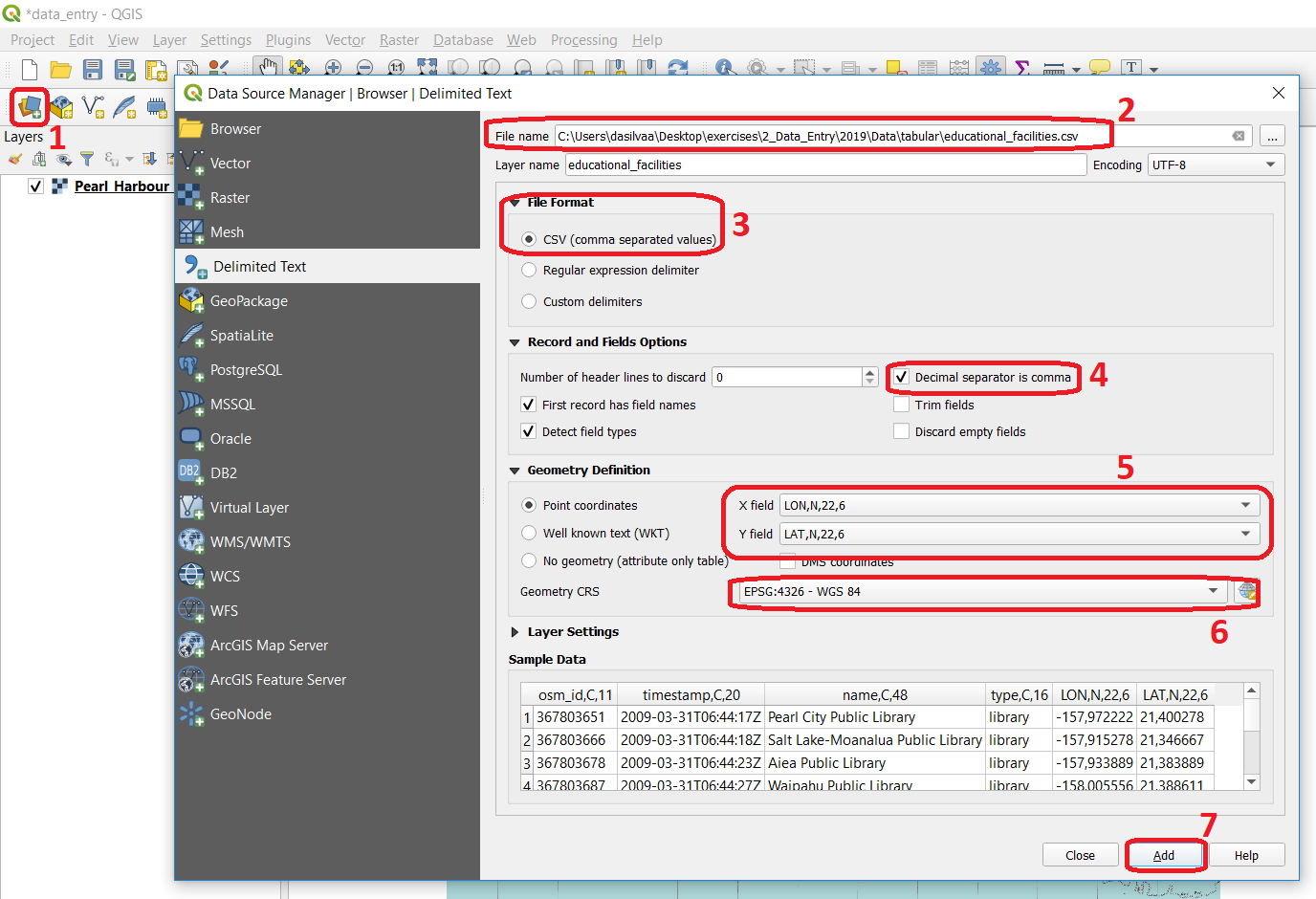
data_entry.qgs– a QGIS project file;checking_errors.qgs– a QGIS project file;Pearl_Harbour_topographic_map_(1999).tif– a raster map;Educational_facilities.csv– tabular data;Polygons.gpk– a polygon vector layer.
Digitising
Extracting the data, you need from a raster base map to a vector layer starts with creating a new dataset (i.e. layer), where the features that are about to be created will be stored. Technically speaking, it is a simple task; however, you should always take a moment to assess the requirements before proceeding with the actual software operation.
Capturing elements from a base map is an abstraction exercise; this abstraction depends on the scale and purpose for which the data will be used. For example, think of airports; will you represent them (abstract them) as points or as polygons? The answer to this question will depend on how you are going to use the data. If you want to publish a world map of the major airports, probably you could depict them as points. But if you’re going to map the accessibilities to a given airport, a larger scale will be needed; therefore, polygons might be better.
The attributes associated with the geometries are another important aspect to consider. The choice of attributes depends not only on the scale and intended use, but it also depends on the availability of the data (e.g. what is the capacity of the airport? How does it rank on security? How many international connections does it serve? – would these be information you need to have? And if so, do you have access to this data?)
- Task 2.1
Start QGIS and open the
data_entry.qgsproject. Among others, you will see a layer namedPearl_Harbour_topographic_map_(1999).tifObserve the map and complete the table below, considering the following requirements:Think of at least three vector layers that can be acquired from the raster base map;
Make sure all geometric types – Polygon, Line, Point are represented;
For each layer think of at least two attributes.
LayerName
Geometric Type
Attribute 1
Attribute 2
water_lines
line
Id
length
- Task 2.2
Now that you know what you want to extract and how are you are going to abstract it, proceed with the creation of the new layers. Digitise at least three features per layer.
For this task, you may want to watch this video tutorial: